My first visit to Charleston, before moving here three years later, just happened to be during Hurricane Matthew. My son and his family had recently moved to Mt. Pleasant, and it was their first hurricane. They asked the local old-timers on their street what to do. They did what they said…battened down the hatches and we stayed and were fine.
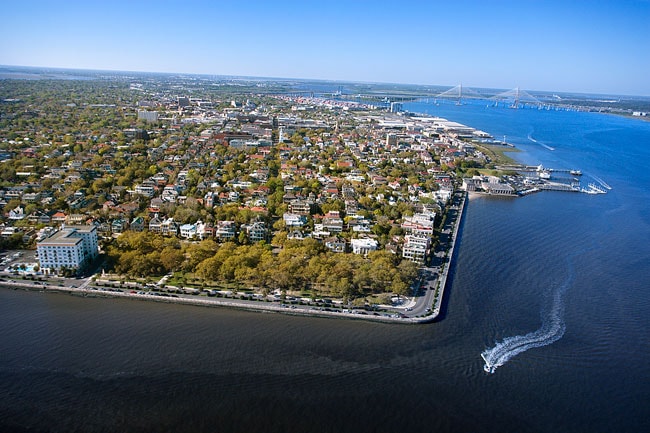
But we watched the usual streets in old town Charleston on TV as they flooded. So, I was naturally curious when I later moved there, would I flood also. I started to look at the actual lay of the land. I was not reassured by photos like this one…where the city seems to be a flat piece of something merely floating on the water…I have a vivid picture in my mind of flying into Boston’s Logan airport and seeing a bulldozer pushing dirt into the ocean to make more land…it seemed so fragile and so much water…
Flooding | Preservation Society of Charleston | Charleston, SC
The photo is from an email I received from the Preservation Society recently. It was introducing a new study they have done called:
New Resilience Guidelines to Equip Residents for Flooding…put together after “my” Hurricane Matthew.

Actually, this picture got me to realize something, though. I moved to Charleston, as said in an earlier post, from St. Charles, MO…enough serendipity for me just in the names…but now realizing that Charleston is actually surrounded on two sides by large rivers added to the mystical factor…for me. Because St. Charles County is on a peninsula created by the Mississippi River on the east and the Missouri River coming in from the West. The orientation is a little different, but the idea is the same.
And…as here…flooding there was always an issue. Famers on the peninsula–though I never once thought of it that way while there–built their houses on stilts and erected earthen walls to keep the floods of their crops each spring when the snow melts up north flooded the rivers.
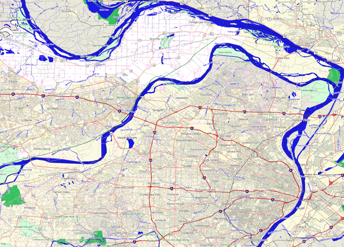
You can see the two rivers, two of the biggest rivers in the U.S., the Mississippi River on the top coming to a point at the green spot with the Missouri River creating a peninsula…I hadn’t really realized that until I saw the first picture.
